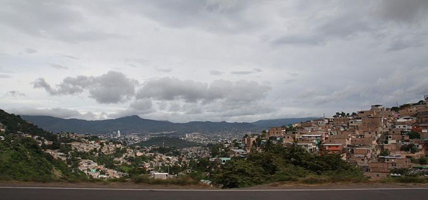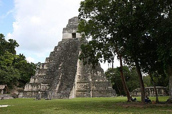
From Wikipedia: El Salvador is a country in Central America . It is bordered on the southwest by the Pacific Ocean, and lies between Guatemala and Honduras.
find another country
El Imposible National Park

[from en.wikipedia.org]: El Imposible National Park is a tropical forest and a national park in El Salvador. It was established on 1 January 1989 and covers an area of 38.20 square kilometres. It literally means "The Impossible National Park" in English. It has an altitude of between 250 and 1,425 metres. El Imposible was named for the perilous gorge which used to claim the lives of farmers and pack mules transporting coffee to the Pacific port. El Imposible sits in the Apaneca Ilamatepec Mountain Range between 300m and 1450m above sea level, and includes eight rivers which feed the watershed for Barra de Santiago and the mangrove forests along the coast.

Los Volcanes National Park
[from en.wikipedia.org]: Parque Nacional Los Volcanes, also known as Cerro Verde National Park, is a large national park in El Salvador.

San Salvador
Average temperatures
Jan
30.8°C16.9Precipitation: 1 mm
Feb
32°C17.6Precipitation: 2 mm
Mar
32.7°C18.4Precipitation: 10 mm
Apr
32.7°C19.8Precipitation: 36 mm
May
31.1°C20.4Precipitation: 176 mm
Jun
30.1°C20Precipitation: 279 mm
Jul
30.3°C19.5Precipitation: 355 mm
Aug
30.5°C19.7Precipitation: 319 mm
Sep
29.5°C19.6Precipitation: 338 mm
Oct
29.5°C19.3Precipitation: 208 mm
Nov
29.9°C18.4Precipitation: 53 mm
Dec
30.2°C17.5Precipitation: 9 mm

Santa Ana (El Salvador)
Average temperatures
Jan
30.8°C16.3Precipitation: 2 mm
Feb
32.1°C17Precipitation: 6 mm
Mar
33.7°C17.7Precipitation: 8 mm
Apr
34.1°C18.9Precipitation: 57 mm
May
32.3°C19.6Precipitation: 188 mm
Jun
30.9°C19.5Precipitation: 322 mm
Jul
31.1°C19.2Precipitation: 297 mm
Aug
31.1°C19.3Precipitation: 313 mm
Sep
30.3°C19.1Precipitation: 315 mm
Oct
30.1°C19Precipitation: 185 mm
Nov
30°C17.8Precipitation: 38 mm
Dec
30.3°C16.9Precipitation: 13 mm

La Libertad
No climate information available.

San Francisco Gotera
No climate information available.

San Miguel (El Salvador)
No climate information available.

Santa Tecla
No climate information available.

Suchitoto
No climate information available.

El Pital
No climate information available.


